Sea Level Rise
3.0.5 by Sea Level Rise Capturing Tool (0 Reviews) February 21, 2024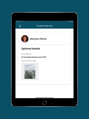
Latest Version
Version
3.0.5
3.0.5
Update
February 21, 2024
February 21, 2024
Developer
Sea Level Rise Capturing Tool
Sea Level Rise Capturing Tool
Categories
Weather
Weather
Platforms
iOS
iOS
File Size
45.9 MB
45.9 MB
Downloads
0
0
License
Free
Free
Report
Report a Problem
Report a Problem
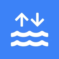
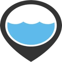
More About Sea Level Rise
The Sea Level Rise app allows anyone to map the flooding in their community, helping document sea level rise and other flooding impacts.
While virtually everyone in and around a low-lying coastal region is or will be affected by sea level rise, we started our work in Hampton Roads, Virginia and have learned from the mapping efforts of thousands of volunteers during annual "Catch the King Tide" events. Developed by Wetlands Watch, this app moves us in the direction of being a better informed and connected community so we can stay ahead of sea level rise.
Access user-submitted information about this global phenomena and participate (as a volunteer) in capturing the street-level data we need to better understand and solve the challenges it brings! With the app, you can:
• Participate in crowd-sourcing events to capture the localized data researchers and civic leaders require, but lack
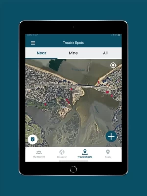
• Find and add nearby "Trouble" spots where high water affects your travel during times of inclement weather
• Capture and share photos that document what's occurring in your community
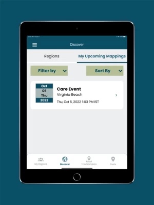
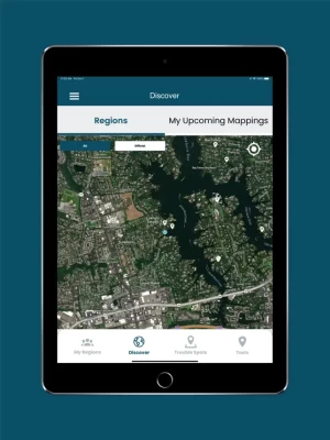
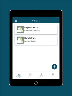
• Access specific collaboration spaces, called regions, where you can manage volunteers and schedule mapping events
Access user-submitted information about this global phenomena and participate (as a volunteer) in capturing the street-level data we need to better understand and solve the challenges it brings! With the app, you can:
• Participate in crowd-sourcing events to capture the localized data researchers and civic leaders require, but lack
• Find and add nearby "Trouble" spots where high water affects your travel during times of inclement weather
• Capture and share photos that document what's occurring in your community
• Access specific collaboration spaces, called regions, where you can manage volunteers and schedule mapping events
Rate the App
Add Comment & Review
User Reviews
Based on 0 reviews
No reviews added yet.
Comments will not be approved to be posted if they are SPAM, abusive, off-topic, use profanity, contain a personal attack, or promote hate of any kind.