OBX Hurricane Tracker
3.0 by corey hoggard (0 Reviews) January 13, 2024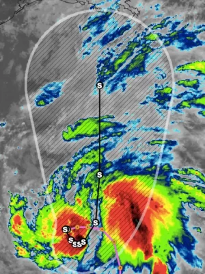
Latest Version
Version
3.0
3.0
Update
January 13, 2024
January 13, 2024
Developer
corey hoggard
corey hoggard
Categories
Weather
Weather
Platforms
iOS
iOS
File Size
40.9 MB
40.9 MB
Downloads
0
0
License
Free
Free
Report
Report a Problem
Report a Problem
More About OBX Hurricane Tracker
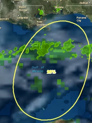
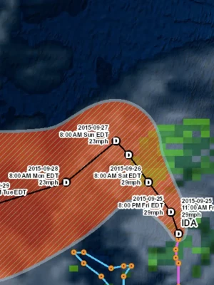
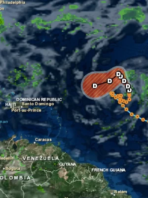
OBX Hurricane Tracker is an interactive mapping application for tracking hurricanes, tropical storms and tropical depressions in the Atlantic ocean with a focus on the outer banks of North Carolina. All data comes from the NHC, NOAA and NWS. Listed below are the featured layers of this application.-Global Cloud Cover-Hurricane Tracks-NHC Chance of Development-Tropical Storm Tracks-Tropical Depression Tracks-Wave Height Data-3 Hour Precipitation Data-NOAA Buoy and Ship Observation Data-GPS Location-Wave Direction-Global Surface Winds
Rate the App
Add Comment & Review
User Reviews
Based on 0 reviews
No reviews added yet.
Comments will not be approved to be posted if they are SPAM, abusive, off-topic, use profanity, contain a personal attack, or promote hate of any kind.